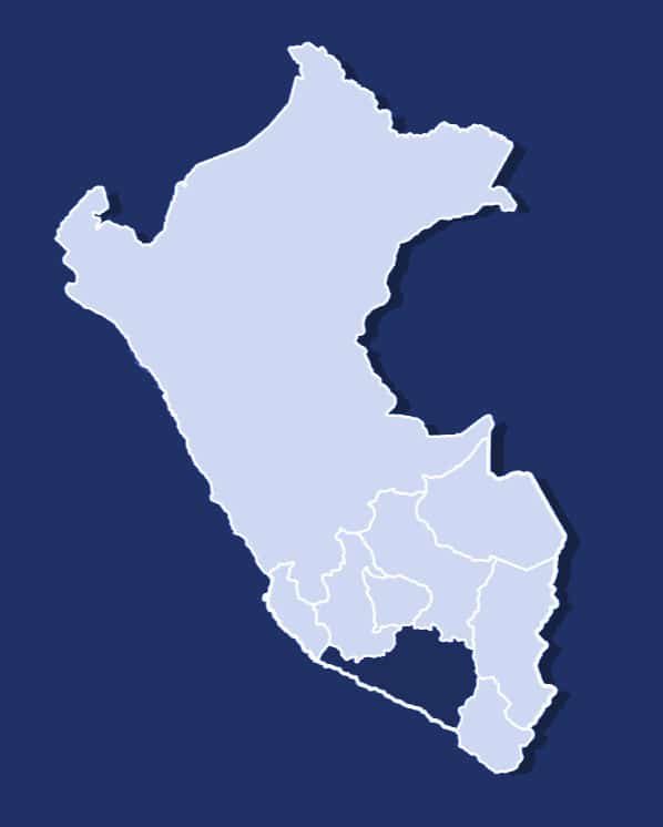
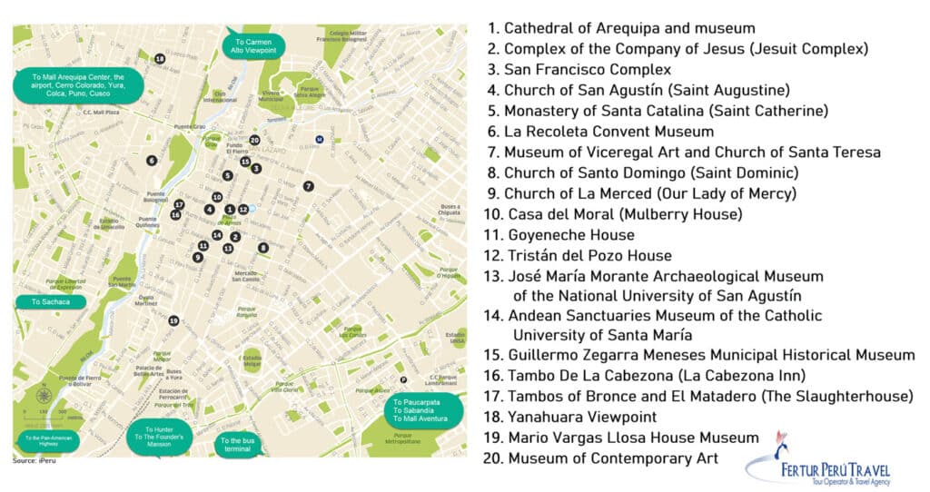
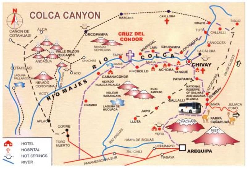
Use this tourist map of Arequipa featuring the main attractions of this amazing Peruvian destination. It also highlights the main routes to reach points of interest such as the Cotahuasi Canyon, Colca Valley, Cruz del Cóndor, Sabancaya Volcano, among other routes based on your tourism plan.
We recommend visiting the page dedicated to tourist sites in Arequipa for more information about this map, as well as the info page to learn about the altitudes, climates, and other details of the city. (Links are provided at the bottom).
So, for quick guidance, take a look at the map to get a better idea of the excursions you can undertake in Arequipa.
Arequipa is Peru’s great southern city of stone and volcanoes—a high-desert crossroads where colonial streets meet the raw topography of the Andes.
This map hub brings the essentials into one place: a tourist-friendly city map for planning your days on foot, and a Colca Canyon map to understand the region’s most famous excursion.
Use this tourist city map to orient yourself in the historic core and plan efficient walking routes between plazas, viewpoints, museums, markets, and tour pickup points. Arequipa’s layout is easy to enjoy on foot, but the city is also defined by its setting: it sits around 7,660 feet (2,335 meters) above sea level, with dramatic volcanic silhouettes framing the skyline and shaping the local landscape, water supply, and building tradition.
The city’s famous white volcanic stone gives Arequipa much of its identity—architecture that feels grounded, luminous, and unmistakably Andean even when the streets read as colonial. With this map, the goal is simple: reduce backtracking, choose a smart base location, and build a day plan that moves naturally through the center.

To book your Arequipa tours now or consult with us, fill out the “Contact Us” form and a Fertur Peru Travel coordinator will contact you within one working day with detailed information about your fully customizable trip.
Fertur Peru Travel’s pledge is to offer you top-quality, individualized attention that starts with the planning of your trip and continues through your journey to guarantee a great vacation.
Best for: first-time orientation, walking routes, and deciding where to stay in the historic center.
Planning notes: Even though Arequipa is lower than Cusco, it’s still high elevation; take your first day slowly and expect sunny days with cooler evenings.
Related: Arequipa travel guide
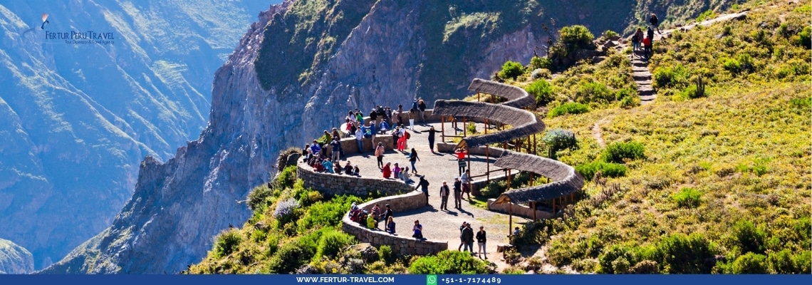
This Colca Canyon map helps you visualize how the canyon region connects to Arequipa and how the main route corridor is laid out—villages, viewpoints, and travel flow across high Andean terrain.
Colca isn’t just a single lookout; it’s a big landscape of terraced slopes, deep river cuts, and high plateaus where elevation and distance determine everything from departure times to how comfortable a day trip feels.
Best for: planning a Colca day trip or overnight route and understanding the region’s geography before you go.
Planning notes: Colca days start early and involve significant elevation variation; dress in layers for cold mornings and warmer midday sun, and plan hydration breaks.
Related: Colca Canyon tours
Prices starting from $123 per person
Prices starting from $215 per person
Prices starting from $392 per person
Popular dates tend to sell out first. Check availability and get personalized assistance to secure your reservation.
Contact telephone numbers
Offices